Territory Planning Intelligence
Precision Territory
Mapping & Design
Design fair, balanced and high-performing territories that drive sustained growth.

What is Territory Planning?
Territory Planning helps you define, adjust and optimise franchise or sales areas using data — not guesswork. Data-driven territory mapping tools combine catchments and customer potential to build fair, insight-based territories that avoid overlap and reduce internal friction.
Plan, Test and Refine
Territories in Minutes
Territory Planning Intelligence from Periscope® helps you build effective territories with speed and confidence.
No GIS experience is required to maximise market coverage, minimise travel inefficiencies and support consistent performance. We provide you with all the intuitive drawing and editing tools you need to balance opportunity, avoid overlap, and optimise coverage with clear visuals and intelligent analytics that support faster decisions.
Whether you’re launching in new regions or refining existing footprints, you’ll be able to model credible territory plans that reflect actual customer behaviour, reduce internal competition and protect local opportunity.
What you Need to Balance
What Periscope® Helps You See
Which areas are fully covered, underserved or overlapping
Where existing and potential customers are concentrated
How practical each territory is for teams or franchisees
Where growth potential is strongest
Where territories may be competing for the same customers
Build Territories That Reflect
Real Customer Reach and Demand
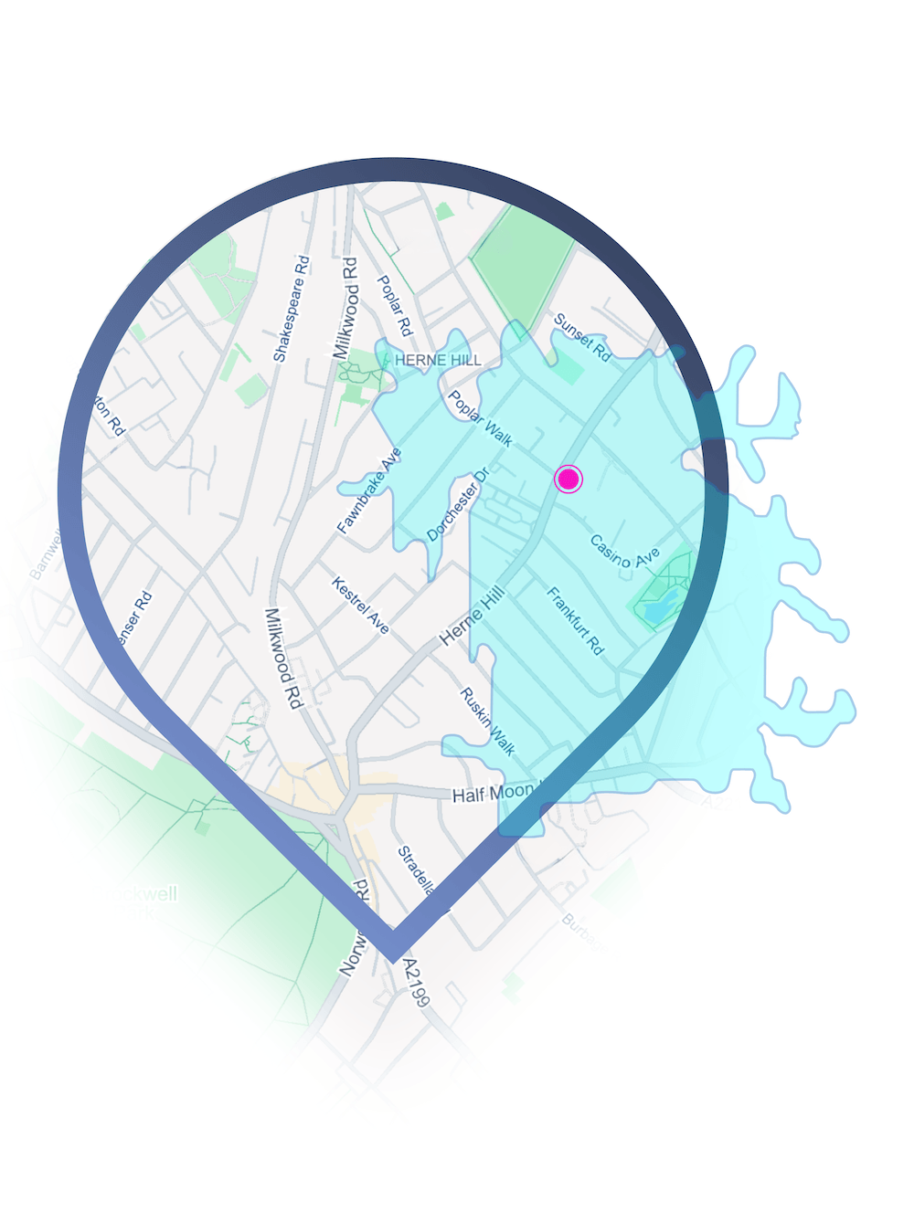
Periscope® lets you create catchments for franchise, sales and service planning based on walk time, drive time, radius or custom boundaries. You can draw directly on the map, upload existing shapes, or work from postcode and administrative units — all with instant performance insight.
-
Flexible Boundary Creation
Draw territories using travel-time, radius or administrative boundaries to reflect real-world accessibility and optimise coverage.
-
Travel-Time Catchments
Define territories by walk time or drive time to ensure realistic coverage for service teams.
-
Flexible Boundary Creation
Draw freehand, set radius-based zones or build territories using postcodes, wards or local authority boundaries to reflect accessibility and territory optimisation.
-
Side-by-Side Comparisons
View, compare and edit multiple territory configurations at once.

Ensure Fairness
and Reduce Friction
In franchise territory planning, growth only scales when the territories feel fair and commercially viable. Our tools help you balance opportunity and risk by mapping franchise and sales territories using footfall and demographic data, enabling a more scientific and evidence-based approach. You can model expected demand, avoid cannibalisation, providing franchisees or account managers with confidence in the areas they’re working.
-
Overlap Detection Flag
Overlapping areas and postcode conflicts automatically.
-
Performance Forecasting
Estimate sales or demand within a territory based on footfall and demographics.

-
Franchisee Packs
Generate clear, tailored outputs to support franchise sales and onboarding.
-
Marketing Plans
Understand where to focus the online or offline marketing campaigns to get the best ROI.
Case Study
Territory Planning in Action
Designing Scalable Franchise Territories Across Europe

See how businesses are using Territory Planning Intelligence to create fairer, more effective sales and franchise territories. By combining customer distribution, catchment analysis and demand insight, Periscope® helps teams reduce overlap, improve coverage and build.